Mining
154326323980
![]()
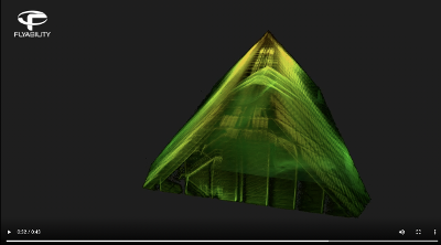
Safely access no-go
zones
![]()
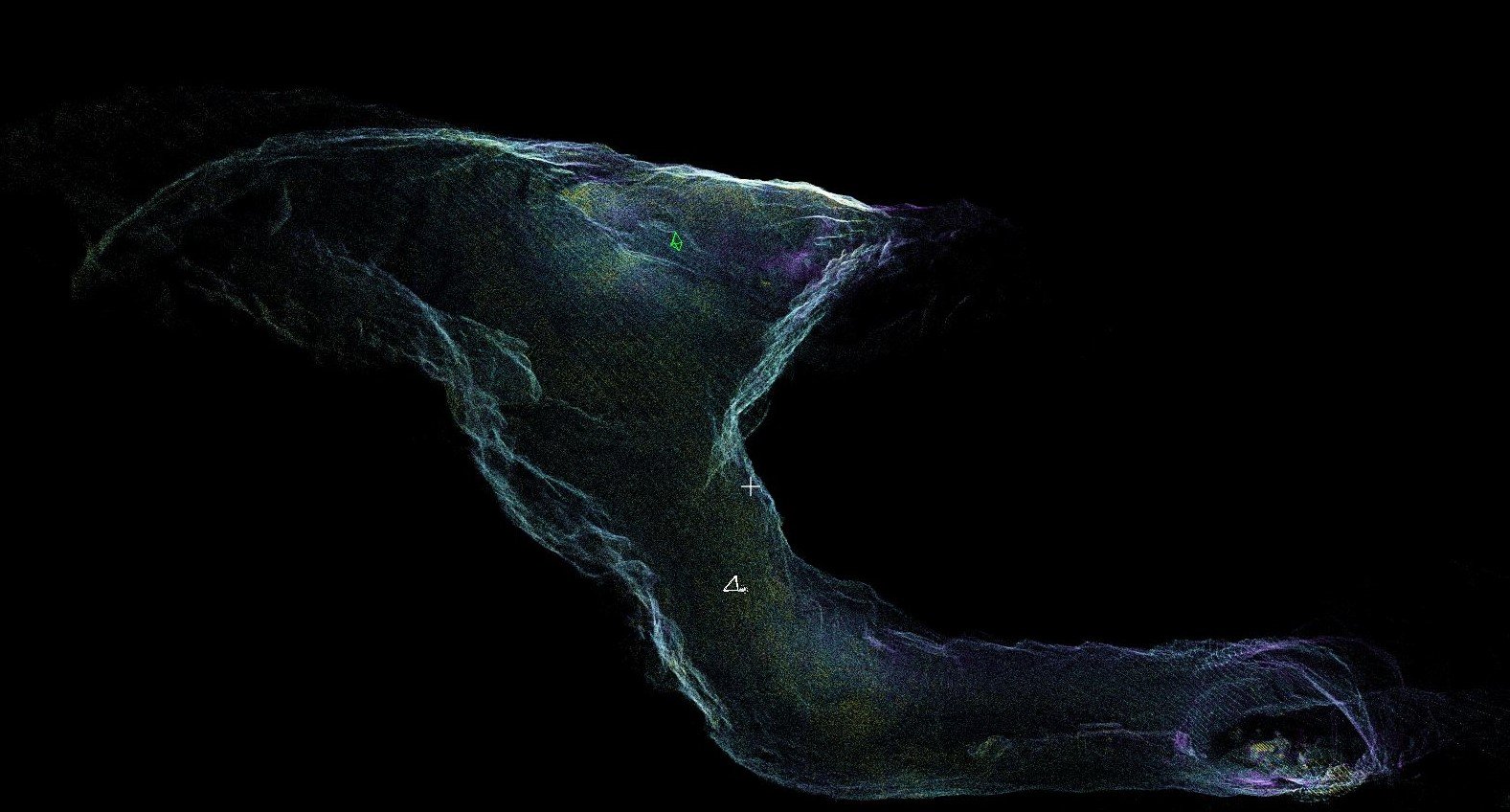
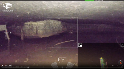
Localize a hangup in less
than 10 minutes
![]()
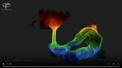
Gain insights you could
not reach before
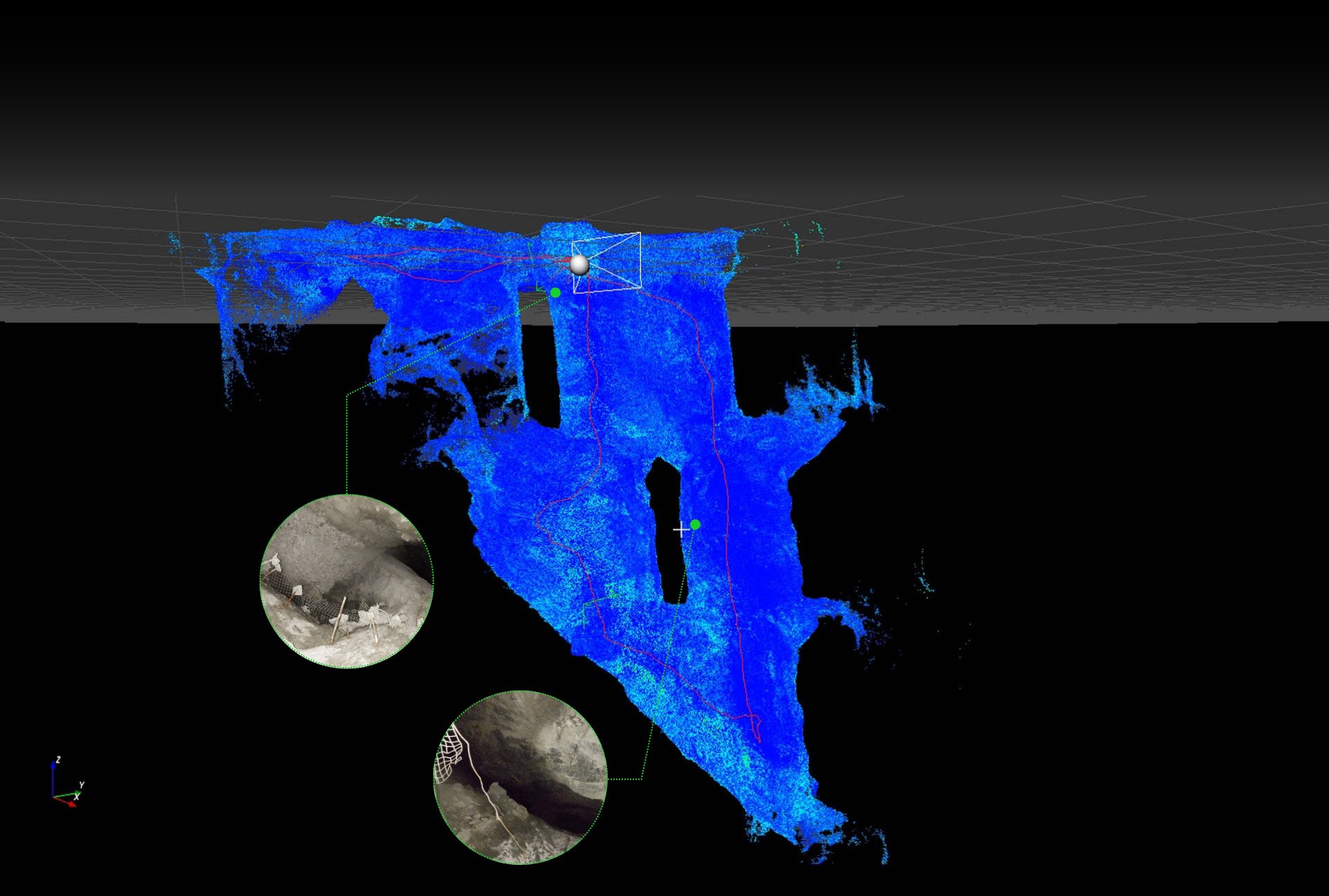
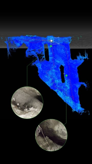

Software output: 3D model showing the ELIOS 3's trajectory and some of the points of interest recorded during the mission.
Complete surveying tasks in areas that are unsafe or inaccessible to humans with traditional equipment.
Deliver centimeter accurate data in minutes rather than hours and make informed decisions faster.
Keep workers from dangerous working conditions using remote monitoring, mapping, surveying, and inspection capabilities.

Inspect a draw point from a safe distance and get 100% visibility from the inside. Do it in less time than it takes to set up a traditional CMS.
| Speed | Ease of use | Accuracy |
| 10 min to capture high resolution point cloud data. | During the flight, navigate through the 3D live map. Locate the drone precisely inside the asset & visualize its exact trajectory. | Detailed 3D insights, with 100% coverage. |
With the accurate LiDAR scanning, fully calculate your stockpile inventory and tighten up your forecasting.
| Speed | Safety | Accuracy |
| 9 min to capture the data with Elios (one flight) | No work at height. The data is collected from a safe distance | 3D models provide accurate stockpile calculations |
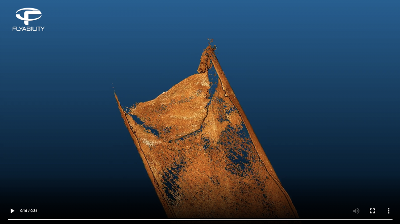
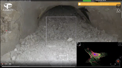
Precisely locate hangups from a safe distance and gather the data needed to plan for their removal.
| Speed | Access | Accuracy |
| ~10 min to find the cause of an ore pass hang up | Fly directly into the ore pass and gather both visual and LiDAR data | Geolocalize the hang up in the ore and see exactly how the hang up looks like |
Perform regular ore pass monitoring and inspections to prevent hang-ups and keep the mine safe.
| Speed | Access | Saftey |
| ~8 min to inspect 2 ore passes and a small stope at -280 meters underground | 100% data coverage even in no-go zones | No workers exposed to hazards |
Establish standard procedures for routine inspections of heavy mining equipment, such as conveyor belts, ball mills, SAG mills, crushers, and stockpile feeders.
| Speed | Cost efficiency | Safety |
| Deploy a drone on demand without the need for elaborated safety procedures and/or complex scaffolding | Perform inspections without stopping the production with one pilot only vs. standard teams of 3-4 people | No workers exposed to hazards |
Quickly map and inspect large excavations to ensure they are in a safe condition.
| Speed | Access | Safety |
| Deploy a drone on demand without the need for complex safety procedures | Get 100% data coverage—even in no-go zones | No workers exposed to hazards |
![]()
Safely create centimeter accurate scans of hard-to-reach areas, with the Elios 3 Surveying Payload.
Learn More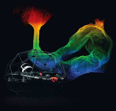
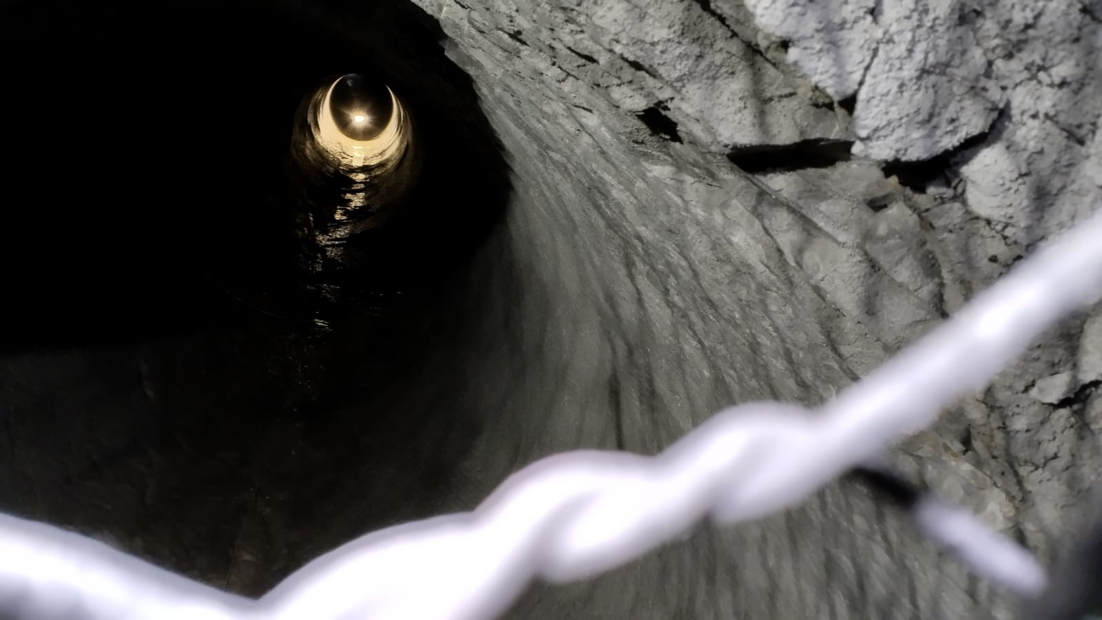
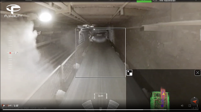
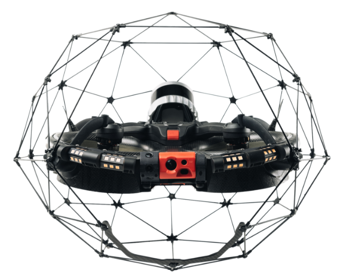
Built to keep humans safe, the Elios 3 features a unique, collision-resilient flight controller that allows inspectors to collect data in inaccessible confined spaces.
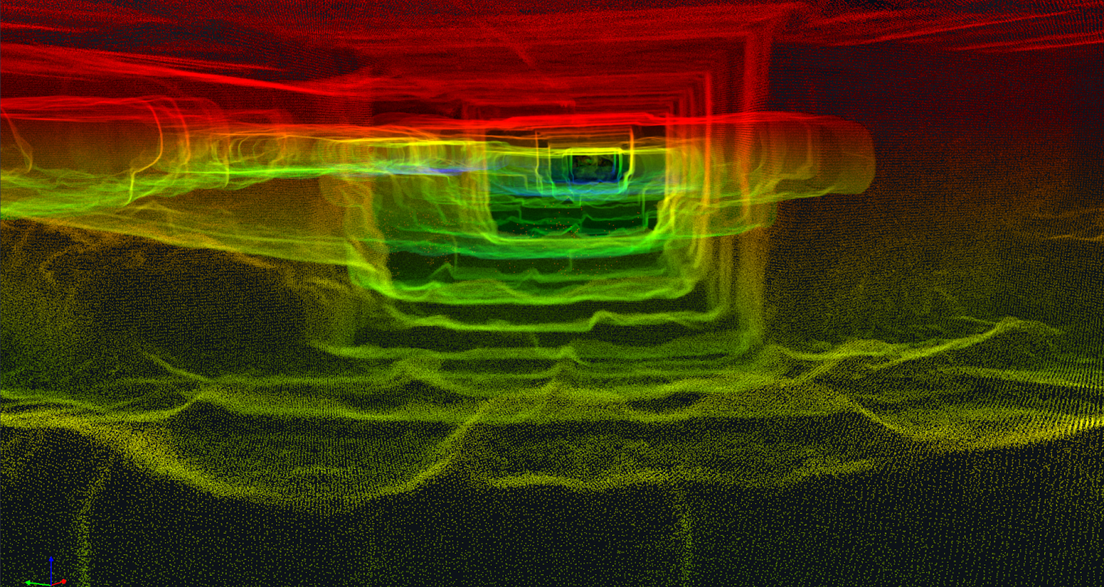
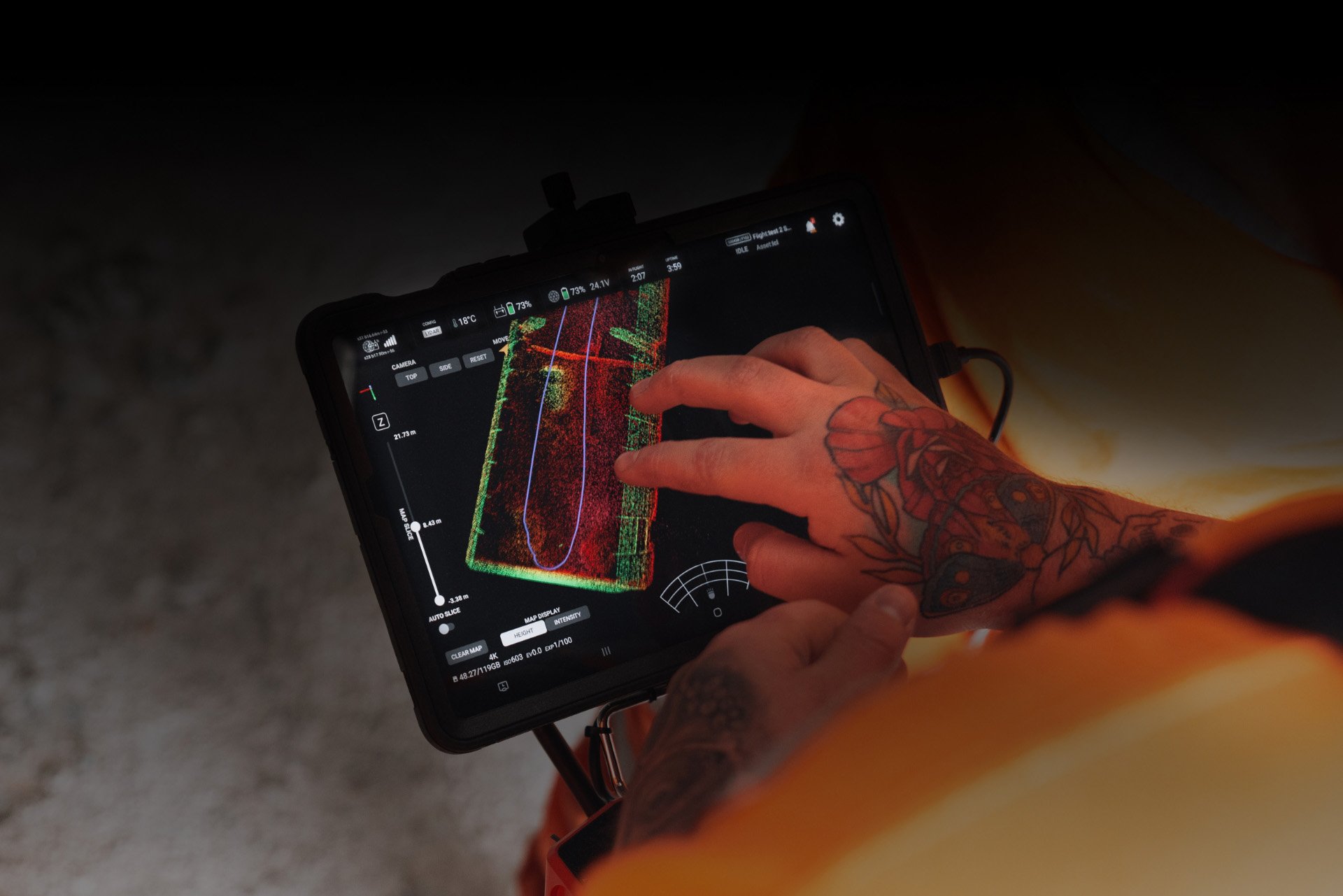
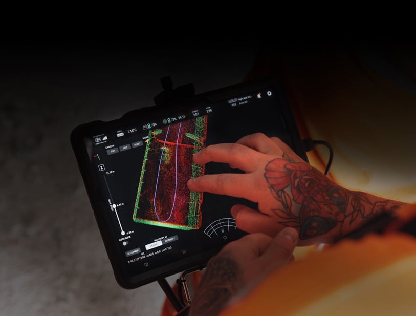
Relying on the power of computer vision and LiDAR mapping, Elios 3 allows pilots to navigate mine workings, building a real-time 3D view of the drone’s environment and trajectory.

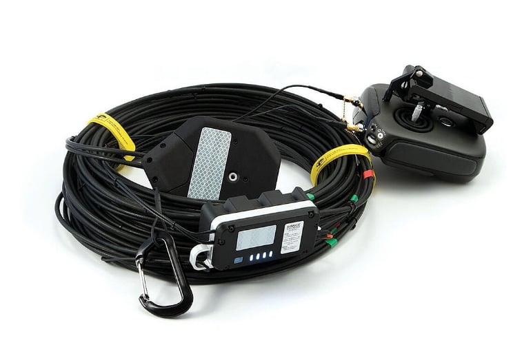
In underground environments, signal propagation can be limited by the geometry of the place. The range extender allows you to overcome these challenges by extending the range of your drone.

![]()
“
“Elios 3 can get into places that other drones can’t sneak into. I see it being a true replacement for human eyes underground.”
Meggan Gidden
Ground Control EIT, Glencore Kidd Operations